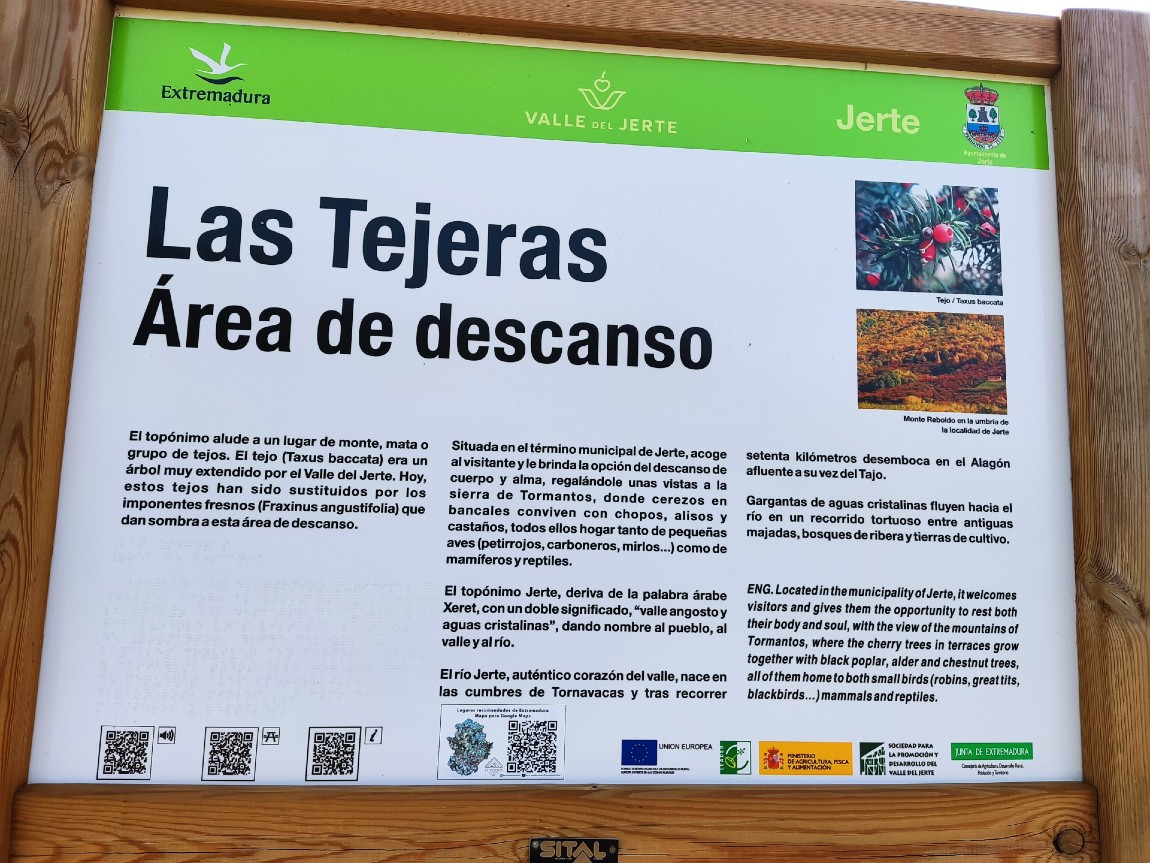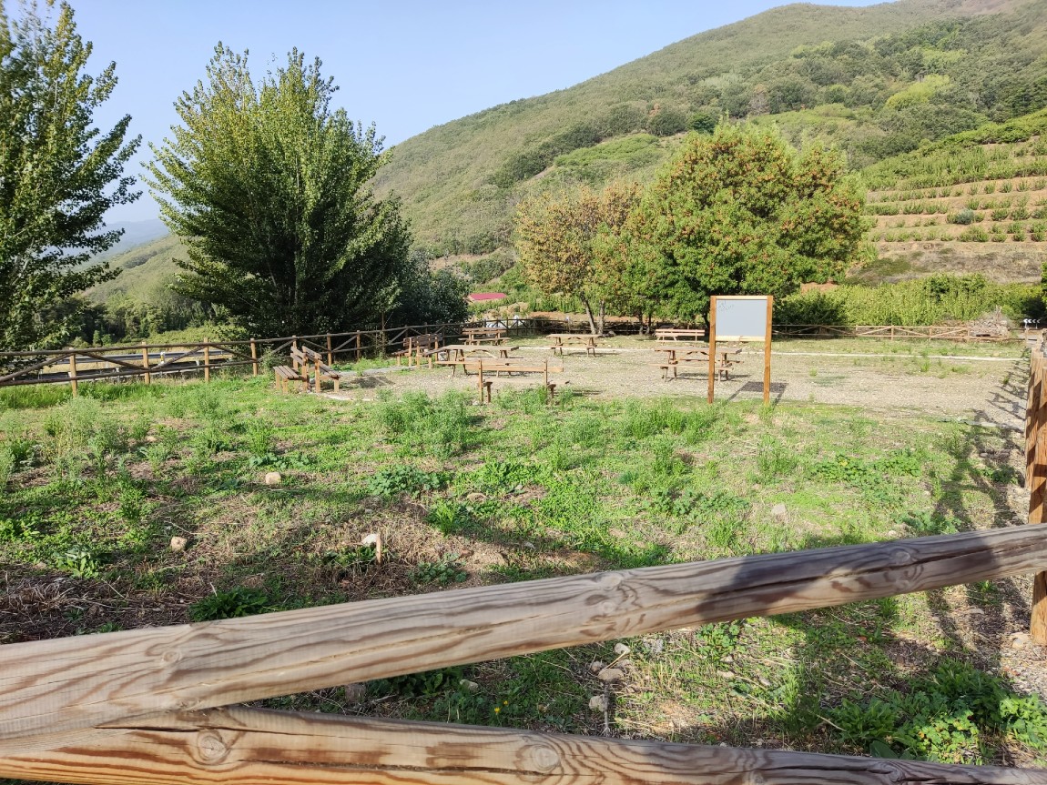
Merendero Las Tejeras
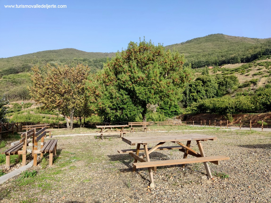
El topónimo alude a un lugar de monte, mata o grupo de tejos. El tejo (Taxus baccata) era un árbol muy extendido por el Valle del Jerte. Hoy, estos tejos han sido sustituidos por los imponentes fresnos (Fraxinus angustifolia) que dan sombra a esta área de descanso.
Situada en el término municipal de Jerte, acoge al visitante y le brinda la opción del descanso de cuerpo y alma, regalándole unas vistas a la sierra de Tormantos, donde cerezos en bancales conviven con chopos, alisos y castaños, todos ellos hogar tanto de pequeñas aves (petirrojos, carboneros, mirlos...) como de mamíferos y reptiles.
El topónimo Jerte, deriva de la palabra árabe Xeret, con un doble significado, “valle angosto y aguas cristalinas”, dando nombre al pueblo, al valle y al río.
El río Jerte, auténtico corazón del valle, nace en las cumbres de Tornavacas y tras recorrer setenta kilómetros desemboca en el Alagón afluente a su vez del Tajo.
Gargantas de aguas cristalinas fluyen hacia el río en un recorrido tortuoso entre antiguas majadas, bosques de ribera y tierras de cultivo.
RESTING AREA LAS TEJERAS
The name comes from a place in the mountains, bush or a group of yews. The yew (Taxus baccata) was a tree that could be found across the Valle del Jerte. Today these yews have been substituted for extraordinary ash trees (Fraxinus angustifolia) that shade this resting area.
Located in the municipality of Jerte, it welcomes visitors and gives them the opportunity to rest both their body and soul, with the view of the mountains of Tormantos, where the cherry trees in terraces grow together with black poplar, alder and chestnut trees, all of them home to both small birds (robins, great tits, blackbirds…) mammals and reptiles.
The name Jerte, is derived from the Arabic word Xeret, with a double meaning “narrow valley and crystal clear waters,” giving name to the village, valley and river.
The Jerte river, the heart of the valley, flows from the summit of Tornavacas and after flowing seventy kilometres it flows into the Alagón river, tributary at the same time from Tajo river.
Gorges and crystal clear waters flow to the river on a winding course between old sheep pens, riparian forests and farmland.
Ctra. N-110. Jerte
Long (Google Maps): -5.720828 Lat ( GoogleMaps): 40.239716